NOAA logo, National Centers for Environmental Information, National Oceanic and Atmospheric Administration NSF logo, National Science Foundation, Division of Ocean Sciences


Core Data from the Ocean Drilling Program legs 101-129

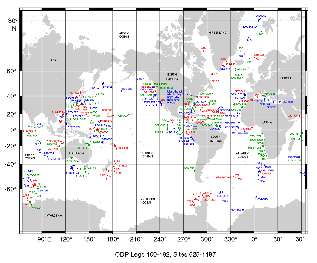
Site Map: Legs 100-192 produced by the ODP Science Operator
[View PDF version of map]
ODP Site locations Legs 100-192i, click on this image to view larger map.
[view larger version of image above]

This CD-ROM contains data from legs 101-129 (sites/holes 626A - 802A), for data from other legs, please contact the ODP. The site map images and files above were produced by Texas A&M University, Science Operator of the ODP. They were current as of April, 2001.

introduction | data types | geographic areas | legs/sites/holes | sites/holes


Cite as: Ocean Drilling Program (1992): Archive of Historic Core Data from the Ocean Drilling Program (ODP) Legs 101-129 (Pre-JANUS). National Geophysical Data Center, NOAA. doi:10.7289/V50V89RB

*The current web version of the ODP CD-ROM has been modified to provide access to related resources, and to update links and organizational information.

These Web pages are from the Core Data from the Ocean Drilling Program Legs 101-129 CD-ROM produced in 1992 and modified in 2002 by the U.S. Department of Commerce, National Oceanic and Atmospheric Administration, National Environmental Satellite, Data, and Information Service, National Geophysical Data Center (now part of the National Centers for Environmental Information), and collocated World Data Center for Marine Geology and Geophysics, Boulder (now part of the World Data Service for Geophysics). Data were compiled in cooperation with the U.S. Science Support Program, of the Joint Oceanographic Institutions, Inc. (now the Consortium for Ocean Leadership), and the U.S. National Science Foundation.

Please see NOAA's privacy and disclaimer information. Send questions or comments to mgg.info@noaa.gov.

Department of Commerce > NOAA > NESDIS > NCEI > doi:10.7289/V50V89RB